Why rapid hurricane strengthening still surprises forecasts
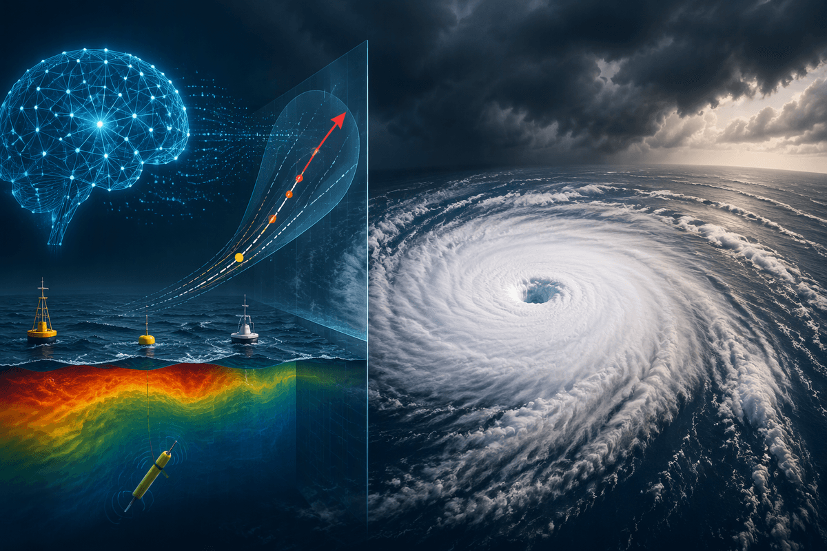
You can watch a hurricane cone tighten days in advance and still wake up to a storm that is suddenly far stronger than expected. That disconnect comes from a basic split in forecasting skill: we’ve gotten better at where a storm will go than how strong it will be when it gets there. Intensity depends on tight, fast-moving processes near the storm’s core and at the ocean surface, where small errors snowball. Models and AI both lean heavily on what’s been observed recently; when a storm moves over unusually warm water, low wind shear, or a pocket of moist air, the ingredients can align quickly—and the forecast can lag.
What “sudden change” means in real storms
You hear “rapid intensification” and might picture a storm gradually ramping up, but the operational definition is sharper: a large jump in maximum sustained winds over about a day. In practice, “sudden change” also includes a storm that weakens unexpectedly after looking poised to strengthen, or one that wobbles between bursts and lulls as the inner core reorganizes.
These shifts can happen while the track forecast looks stable, which is why they catch people off guard. A small eyewall can form, contract, or be replaced by a new outer eyewall, changing peak winds even if the storm’s overall size grows. The forecasters may see a favorable environment, but the trigger can be a narrow window of ocean heat, moisture, and wind structure aligning for only a few hours. That leaves real planning constraints—extra crews, evacuations, and port closures need lead time that intensity jumps don’t always provide.
Where today’s AI helps—and where it hits a wall
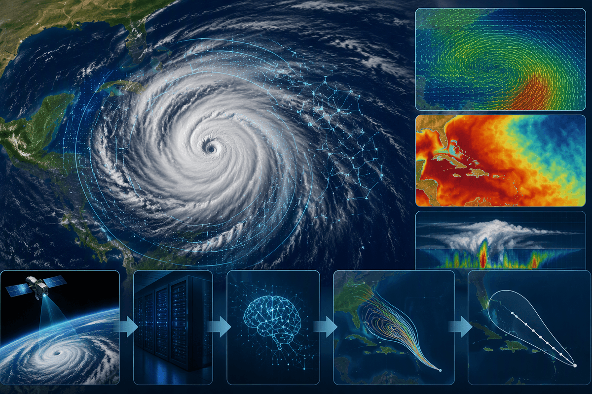
AI is genuinely useful when the question is broad and pattern-based: given a storm’s recent satellite appearance, its surrounding environment, and what similar storms did before, how likely is strengthening over the next day or two? Machine-learning models can sift through huge archives fast, spot combinations humans might miss, and add skill in “yes/no” style guidance—like whether rapid intensification is becoming more likely—especially when blended with traditional model output.
The wall shows up when you ask for the exact peak and the exact timing. Most AI systems learn from what’s been labeled in the past, and intensity labels are noisy: aircraft data are intermittent, satellite estimates have uncertainty, and the most critical inner-core changes can happen between observations. AI also tends to smooth extremes, because rare, explosive jumps are underrepresented in training data. The result can sound confident while still being wrong in the one way that matters for decisions: how bad it will be when it arrives.
The data problem: oceans are under-measured at key moments
A familiar moment for coastal planners is seeing a storm cross a patch of very warm water on the map and assuming we “know” what it will do. The ocean’s fuel isn’t a single surface temperature number. What matters is how deep the warm layer goes, how quickly cooler water can be mixed up by the storm, and whether features like eddies or river outflow are sitting right under the track. Those details can change over tens of miles, and they can shift during the same day a storm is trying to intensify.
We still measure that subsurface structure unevenly. Satellites see the skin of the ocean well, but not the heat stored below it. Buoys and floats are sparse in many basins, and they may miss the exact corridor a hurricane follows. Aircraft and dropsondes focus on the atmosphere and inner core, not a continuous map of ocean heat content. When the storm arrives, conditions also change fast: waves, rain-cooled surface layers, and churned-up cold water can appear between sampling windows. AI can’t infer what was never observed, so the “sudden” part often starts in a data gap.
Small-scale physics that AI struggles to “see”
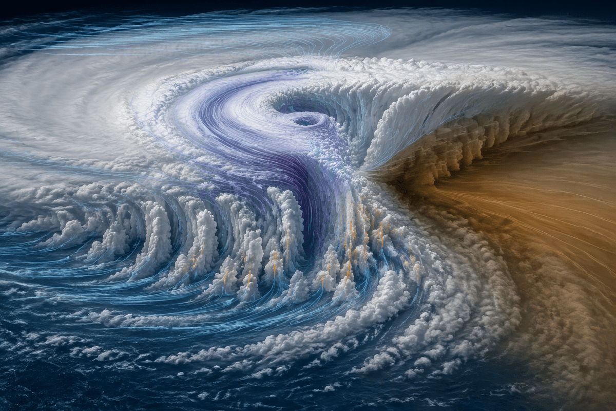
You can often spot the telltale “healthy” hurricane look on satellite—cold cloud tops, a clearing eye, strong outflow—and still not know whether the engine inside is about to surge or stumble. The decisive action happens on small spatial scales and short time scales: bursts of thunderstorms that briefly tilt the core upright, a ring of intense winds tightening the eyewall, or dry air slipping in on one side and disrupting the circulation. These features can be smaller than the grid spacing of many models and shorter-lived than typical observation cycles, which means the inputs an AI model sees may be a blurred snapshot of a process that is already changing.
Even when AI detects a pattern associated with strengthening, it struggles to track cause and effect. Rapid intensification can hinge on how heat and moisture move across the air–sea boundary, how rain-cooled downdrafts stabilize the boundary layer, and whether turbulence mixes just enough dry air to choke off the next convective burst. Those details are notoriously hard to measure directly and expensive to simulate faithfully. When they are approximated, small errors can flip the outcome from “major hurricane” to “modest increase,” and the difference can emerge within hours.
Promising hybrid approaches: AI plus physical models
A familiar choice for forecasters now is whether to trust a fast AI “intensity likely” signal or the slower, physics-based model that shows only modest change. The most promising direction is not picking one, but forcing them to cooperate. AI can act as a triage layer that scans satellite and environmental fields to flag storms entering a high-risk intensification regime, then steers attention to the physical model members that match that setup. In other cases, AI can be used as a bias-correction tool, learning when a particular model tends to underplay rapid strengthening in low-shear, high–ocean-heat pockets and adjusting the guidance without pretending it has “seen” the inner-core trigger directly.
Hybrid methods also work in the other direction: physical constraints can keep AI from making impossible jumps. If an AI output implies a wind increase that would require more ocean energy than is available, or conflicts with the storm’s current structure, the system can downweight it. These blends require careful training on consistent historical data, constant retuning as models change, and clear communication so users don’t mistake a polished single number for certainty. When they help most, they narrow the plausible range and clarify when surprises are most likely—not eliminate them.
How to read intensity forecasts when stakes are high
A common mistake is treating a tight track cone as a proxy for wind certainty. Track skill can be solid while intensity guidance is still a range of plausible outcomes, especially when rapid intensification is on the table. When you read an intensity forecast, look for spread across models and ensembles, not the most recent “best” number. A sudden upward shift across several independent tools is more meaningful than a single aggressive forecast, including an AI-driven one.
Plan around thresholds, not peaks: when could tropical-storm or hurricane-force winds begin, and how long might they last? If the official forecast mentions increasing uncertainty, favorable conditions for rapid intensification, or limited inner-core/ocean sampling, treat the upper-end scenario as actionable—because the constraint is lead time, not perfect accuracy.